Radar vs Satellite Weather: Key Differences & How They Work Together
Radar vs satellite weather: Which one should you use to track changing conditions? Weather radar detects precipitation, while satellite imagery reveals cloud patterns and large weather systems. Meteorologists use both to build a clearer picture of the weather. Read on to discover their key differences, when to use each tool, and how to track local conditions on GoWeatherRadar.
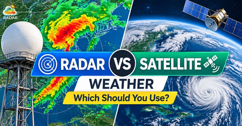
Radar vs satellite weather
What is Weather Radar
Weather radar is a ground-based system that uses radio waves to detect and track precipitation, such as rain, snow, and hail.
It sends out short pulses of energy and measures the signals that bounce back from particles in the atmosphere.
This data helps meteorologists identify precipitation areas, estimate their intensity, and track how storms move over time.
How does it work?
-
Sends radio waves: The radar antenna transmits short pulses into the atmosphere.
-
Detects returning signals: When the waves hit precipitation particles, some energy reflects back to the radar.
-
Maps precipitation: Computers process the returned signals to show where precipitation is occurring and how its intensity and movement change.
Weather radar is especially useful for tracking approaching rain, monitoring thunderstorms, and checking whether precipitation is moving toward a specific area.
However, radar coverage is not uniform everywhere.
Mountains and other obstacles can block signals, while the radar beam rises higher above the ground as it travels farther away.
As a result, radar may miss some precipitation near the surface, particularly in distant areas.
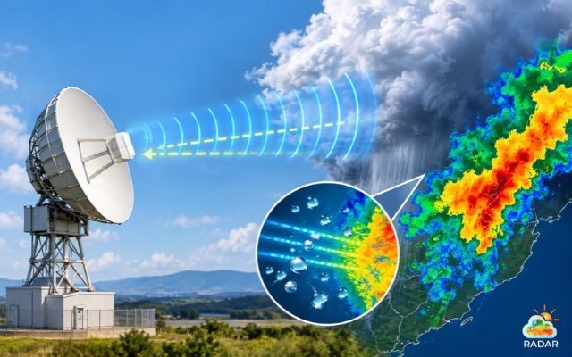
Weather radar is used to detect and track precipitation
What is a Weather Satellite
Weather satellite imagery uses sensors aboard satellites orbiting Earth to observe clouds, atmospheric conditions, and large weather systems from space.
Unlike ground-based radar, satellites detect energy reflected or emitted by Earth and its atmosphere.
These observations help meteorologists monitor cloud cover, follow storm development, and understand how weather systems change over large areas.
How does it work?
-
Collects atmospheric data: Satellite sensors detect different types of energy, including visible light and infrared radiation.
-
Captures cloud patterns: Visible imagery shows clouds during daylight, while infrared imagery can show cloud-top temperatures during both day and night.
-
Tracks weather systems: A sequence of satellite images helps meteorologists observe how clouds, storm systems, and other atmospheric features develop and move.
Weather satellites are useful for monitoring large storm systems, tracking hurricanes, observing cloud cover, and identifying broader weather patterns before they affect a particular region.
Satellite imagery shows clouds and atmospheric conditions, but ordinary cloud images do not confirm whether rain is reaching the ground.
Visible imagery also depends on daylight, while infrared imagery provides a different view of the atmosphere.
Satellite observations may need to be combined with radar and other weather data for a clearer picture of current conditions.
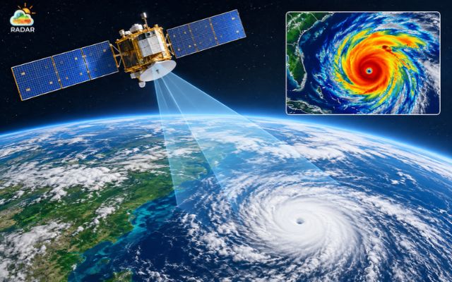
Satellite imagery reveals cloud cover and large weather systems
Radar vs Satellite Weather: Key Difference
Weather radar and satellite imagery show different parts of the weather.
Radar helps track precipitation, such as rain and snow, while satellites reveal cloud cover and larger weather systems.
|
Weather radar |
Weather satellites |
|
|
Location |
Ground-based radar stations |
Satellites orbiting Earth |
|
How it works |
Sends out radio waves and detects signals returned by precipitation particles |
Observes reflected sunlight or emitted radiation from Earth, clouds, and the atmosphere |
|
Main use |
Detecting and tracking precipitation |
Monitoring clouds, large weather systems, and atmospheric conditions |
|
Best for answering |
Where is rain falling & How is it moving? |
Where are clouds and large weather systems, and how are they developing |
|
Limitations |
Coverage gaps, beam blockage, and reduced accuracy for distant or elevated precipitation |
Cloud imagery alone cannot reliably confirm whether rain is reaching the ground |
Why Do Radar and Satellite Maps Sometimes Look Different?
A satellite image may show thick clouds while the radar map shows little or no precipitation. This happens because not all clouds produce rain or snow that reaches the ground.
Some clouds contain tiny droplets or ice particles that do not generate a strong precipitation signal on radar.
The reverse can also happen: radar may detect precipitation beneath a higher cloud layer that is not clearly visible in a particular satellite image.
The two tools observe different features of the atmosphere, so their maps will not always look the same.
Meteorologists use both tools together: satellites reveal the broader weather system, while radar helps track precipitation in specific areas.
Combining them provides a clearer understanding of what's happening and how conditions may change.
Continue reading: Weather forecast and radar map
When to Use Radar vs Satellite Weather
Choose the tool that best matches what you need to know.
Weather radar is ideal for checking precipitation near you, while satellite imagery helps you understand cloud cover and track larger weather systems.
When to Use Weather Radar
Use weather radar when you need to know where precipitation is occurring and how it may affect your plans in the next few hours.
-
Before going outdoors: Check for approaching rain before commuting, jogging, hiking, or driving.
-
To track thunderstorms: Monitor the movement and intensity of precipitation around your area.
-
To check local rainfall: See whether a rain band is approaching, passing over, or moving away from your location.
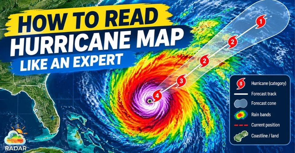
Related: How to read hurricane map
When to Use Weather Satellite Imagery
Use satellite imagery when you want a broader view of cloud cover and developing weather systems.
-
To track large storms: Follow cloud patterns and the development of hurricanes or other major weather systems over a wide area.
-
To plan outdoor activities: Check cloud cover before stargazing, photography, or other activities that depend on clear skies.
-
To monitor changing weather patterns: Observe how cloud bands and large weather systems develop and move over time.
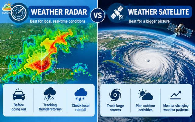
Use radar to track rain and satellites to monitor cloud patterns
Tracking Live Weather Layers on GoWeatherRadar
Want to track rain and cloud cover without switching between multiple weather websites? GoWeatherRadar offers a free interactive weather map with layers for rain, snow, clouds, wind, temperature, and other weather conditions.
-
Compare rain and cloud cover: Switch between the Rain and Clouds layers to see where precipitation is occurring and how cloud patterns extend across a wider area.
-
Track changing conditions: Use the map timeline to review weather patterns and explore forecast changes over time.
-
Check your local area: Search for a city or ZIP code, or use the location control to focus on your area.
-
Explore upcoming weather: Check the available ECMWF forecast data to see how conditions may change in the coming hours and days.
By combining different weather layers, you can better understand the difference between cloud cover and precipitation, helping you plan commutes and outdoor activities with more confidence.
Explore our complete guide on how to use GoWeatherRadar to get more reliable weather readings!
Sum up
Understanding radar vs satellite weather helps you track changing conditions with greater confidence. Weather radar shows where precipitation is falling, while satellite imagery reveals cloud cover and larger weather systems. For a clearer picture, use both tools together. Explore GoWeatherRadar to compare weather layers and monitor conditions before your next outdoor activity.


0 Comments
Leave a Comment
Your email address will not be published. Required fields are marked *