Rare September Nor’easter Headed to East Coast: What to Expect?
A rare September nor'easter headed to East Coast, bringing heavy rain, severe coastal flooding, and dangerous winds to millions of residents from North Carolina to New England. Major cities, including New York and Boston, face potential power outages and severe travel disruptions through the weekend. Emergency officials urge residents along the coast to prepare their storm kits and stay alert as conditions deteriorate.
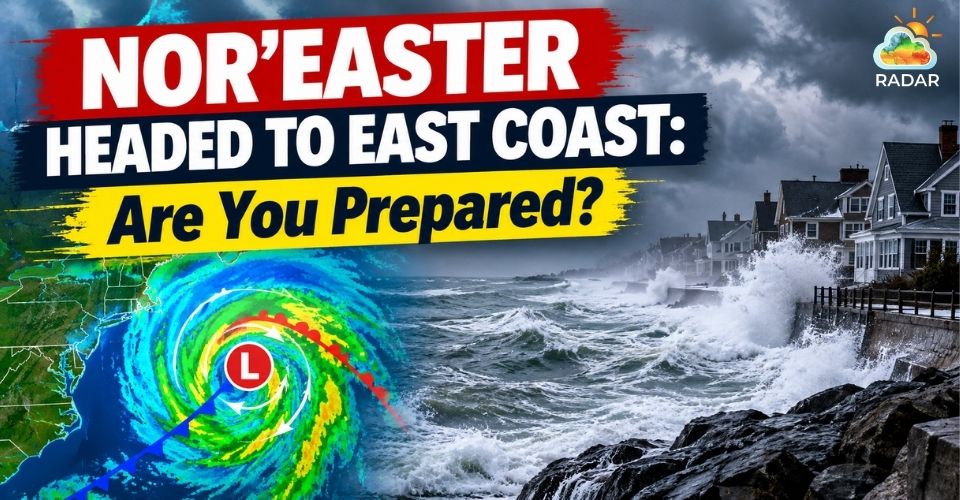
Nor’easter headed to East Coast with flooding threats
Nor'easter Headed to East Coast: Path and Forecast Scenarios
A powerful nor'easter is headed to the East Coast this week, initiating a multiday threat across several coastal states.
The storm system first began forming off the Mid-Atlantic shoreline mid-week.
Initial impacts appeared in coastal North Carolina, Virginia, and Maryland, where strong onshore winds immediately triggered high surf and tidal flooding.
As the storm intensifies, the low-pressure system moves north along the I-95 corridor heading into the weekend.
Forecasters are tracking three potential paths for the storm system:
-
Track 1 (New England Coast): If the storm shifts directly toward Boston and Massachusetts Bay, it could unleash 60 to 70 mph wind gusts, intense rain, and major storm surges along the coastline.
-
Track 2 (New York & New Jersey): A track closer to Long Island or New Jersey shifts the heaviest weather southward, putting New York City near the core of the storm.
-
Track 3 (Offshore Track): If the center stays well out over open water, coastal regions will still face rough surf and elevated tides, but severe inland rain and damaging winds will remain limited.
Residents living near Massachusetts Bay should stay cautious! Check GoWeatherRadar for real-time wind speed updates and coastal storm warnings.
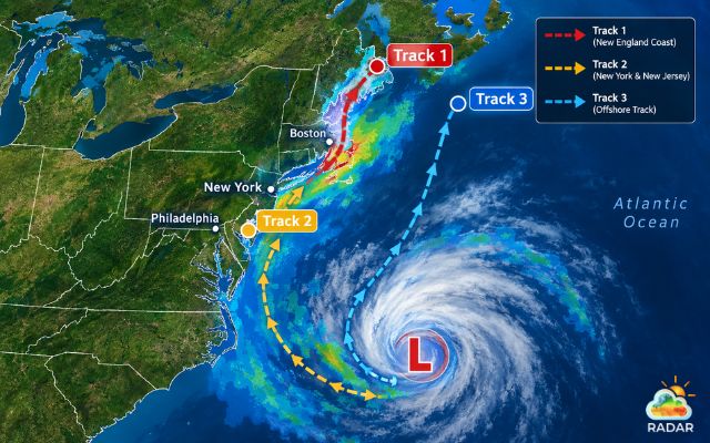
Potential paths of the storm system
Damaging Surge to Power Outages: What Hazards to Expect
Multiple severe hazards will impact the Eastern Seaboard over the course of several days.
Persistent onshore winds will push sea waters inland across consecutive high-tide cycles.
Water levels could rise 2 to 3 feet above ground, inundating low-lying roads and causing significant beach erosion.
Areas like North Carolina's Outer Banks are already seeing ocean overwash onto Highway 12.
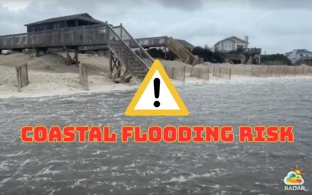
Nor’easter headed to East Coast with severe coastal flooding risks
High winds pose another serious risk. Gusts exceeding 50 to 60 mph can easily knock down trees and power lines.
Emergency management teams warn that widespread power outages and travel delays are highly likely throughout the weekend.
Heavy rainfall will also raise flash flood risks.
According to the National Weather Service, flood alerts span from Cape Cod and Rhode Island up into southern New Hampshire.
Commuters across coastal areas should expect slick roadways and localized urban flooding.
If you are traveling around the Tri-State area, monitor the live rain radar map to track incoming precipitation bands and avoid flooded roadways.
|
ESSENTIAL EMERGENCY PREPAREDNESS CHECKLIST
|
References
-
FOX Weather
-
NBC News
-
USA Today
-
NY Times




0 Comments
Leave a Comment
Your email address will not be published. Required fields are marked *