A significant winter storm system is brewing over the weekend, which may disrupt transportation, even locally, due to ice and snow. Details are beginning to surface, so be sure to check for specific timing and precipitation information.
Models indicate ice in Kansas beginning early Saturday, but consequences increase late Saturday through Sunday, potentially into Monday. These models will continue to change, so the timing and kind of precipitation may vary in your location.
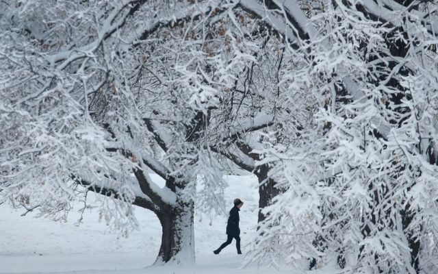
Intense winter storm this weekend
Some locations may have heavier ice accumulations, resulting in downed trees and powerlines. Some of the most current models indicate a little northward shift of snow and ice.
Let's begin with the GFS model. It has the worst ice between Interstates 70 and 40. The most snowfall occurs north of Interstate 70.
The in-house model favors heavy snow around Interstate 80 and raises the icing threat further north along the Interstate 70 corridor. A lot of changes are expected before the weekend. So, keep up with the most recent weather forecast.




0 Comments
Leave a Comment
Your email address will not be published. Required fields are marked *