Tropical Storm Fay Develops in Atlantic with Zero Land Impact
MIAMI — The Atlantic basin logged its sixth named system of the season early Sunday with the arrival of Tropical Storm Fay, weather officials confirmed. Spinning roughly 450 miles southwest of the Azores, the storm carries top winds of 45 mph. Though slight short-term strengthening is projected, the system remains strictly offshore with no land hazards expected.
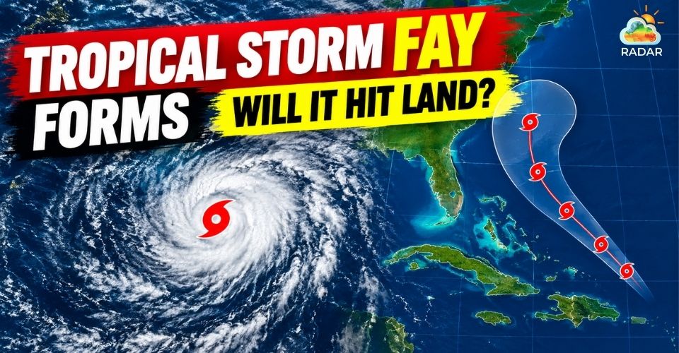
Tropical Storm Fay arrived with winds of 45 mph
Current Intensity of Tropical Storm Fay
Fay organized into a tropical storm over the central Atlantic after previously traveling as Tropical Depression Six.
Tracking updates from the National Hurricane Center show the cyclone creeping north-northeastward at a slow pace of 3 to 5 mph.
Convective activity around its center continues to build, providing temporary fuel for development.
Forecast models indicate the storm may intensify moderately over the next day or two. Maximum wind speeds could reach close to 60 mph while the system wanders over open sea.
That window of favorable growth, however, will be short-lived.
A approaching jet stream trough is expected to shove the storm southward toward cooler waters and higher atmospheric pressure early next week.
Strong upper-level winds combined with dry, stable air will rapidly tear the tropical system apart.
Weather forecasters anticipate Fay will degrade into an inactive low-pressure remnant before fading away entirely before the weekend.
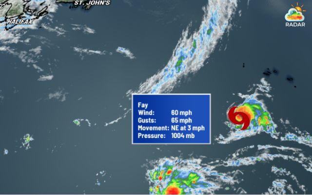
Fay’s maximum wind speed can reach 60 mph (Source: KXAN Austin)
Check the live wind speed and storm radar on GoWeatherRadar Radar Map to visualize real-time atmospheric conditions across the North Atlantic.
Why Tropical Storm Fay Won’t Impact Florida or the US
American coastal communities face no danger from this latest Atlantic storm.
Positioned more than 2,700 miles east of Florida, Tropical Storm Fay is set to remain entirely over open ocean throughout its lifespan.
No coastal watches or warnings have been posted for any island or mainland territory. Marine vessel traffic along central Atlantic shipping corridors will be the only sector impacted by elevated swells.
Although heavy downpours and flood advisories remain active across parts of Florida, meteorologists clarify that these local storms are caused by independent regional moisture, not Fay.
Prevailing atmospheric steering winds will hold the tropical system well out at sea.
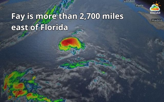
Tropical storm Fay is more than 2,700 miles east of Florida
Monitor live rain radar, humidity, and cloud cover for Miami on Radar Map before planning your day!
Unusual Silence: The 2026 Atlantic Hurricane Drought
Even as Tropical Storm Fay brings the season's named storm tally to six, its formation highlights a broader, historical lull across the basin.
The 2026 Atlantic season has now established the longest delay on record for a first hurricane during the satellite tracking era, which began in 1960.
Heading deep into late September, the basin has failed to generate a single cyclone reaching hurricane strength (winds of 74 mph or greater).
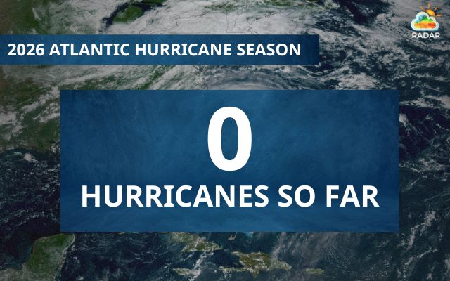
Why is the 2026 hurricane season quiet?
Atmospheric scientists point to a robust Super El Nino pattern as the primary driver behind the quiet Atlantic.
The phenomenon produces harsh wind shear across the basin, preventing tropical disturbances from organizing into powerful hurricanes.
Conversely, that same El Nino signal has driven high activity in the Pacific Ocean, producing several strong hurricanes that threatened Hawaii and the West Coast.
Despite the calm stretch in the Atlantic, meteorologists advise coastal residents to stay alert, as the hurricane season officially continues until November 30.
References
-
FOX Weather
-
AP News
-
WPBF
-
ABC News





0 Comments
Leave a Comment
Your email address will not be published. Required fields are marked *