A Subsurface Kelvin Wave in Ocean Waters Escalates California Flood Risks
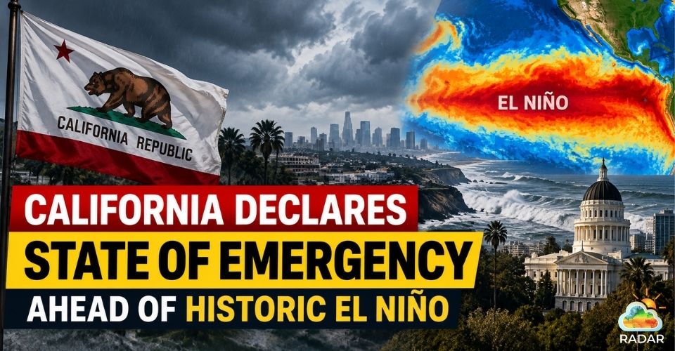
An immense Kelvin wave in ocean is sweeping along the West Coast, threatening to push California water levels up to 30 centimeters higher. Energized by an extraordinary Super El Nino pattern, this massive surge swells tides from deep within the Pacific Ocean. As the wave travels northward toward the San Francisco shoreline, meteorologists warn of heightened storm surges and shoreline damage throughout the coming months.
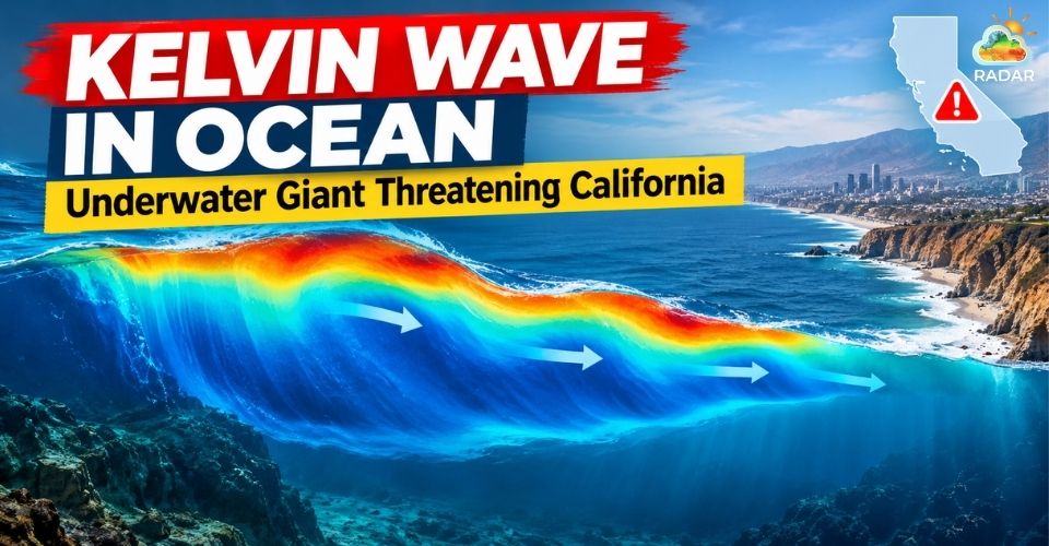
Imminent Kelvin wave in ocean threatens coastal communities in California
What is a Kelvin Wave in Ocean?
Coastal towns from Southern California to Alaska are on high alert as a massive underwater surge of warm water moves along the coast.
But what makes this oceanographic event so distinct?
A Kelvin wave in ocean systems travels deep below the surface.
Driven by tropical winds and the Earth's rotation, this huge bulge of warm water glides hundreds of feet beneath the Pacific Ocean.
When tropical trade winds weaken during El Niño, warm water shifts across the Pacific and surges north along the West Coast.
Because this warm layer is so thick, it acts like a lid that blocks cold, nutrient-rich water from rising to the surface.
Without those essential nutrients, phytoplankton growth slows down, disrupting the marine food chain.
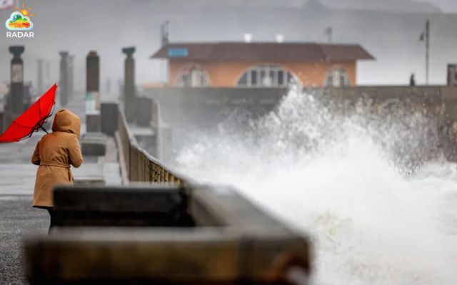
Kelvin wave is a massive underwater warm surge
Massive Kelvin Wave Set to Raise California Sea Levels
Oceanographers estimate this underwater wave could lift shoreline water levels by about 1 foot (30 cm) along California's coast.
In just a few weeks, this sudden swelling matches nearly a century's worth of climate-driven sea level expansion.
The primary driver behind this oceanic movement is a severe Super El Nino event.
Equatorial Pacific sea temperatures have reached historical highs, sending a powerful wave of ocean heat northward.
Because these waves cause water levels to stay elevated, high tides will linger well into the winter months.
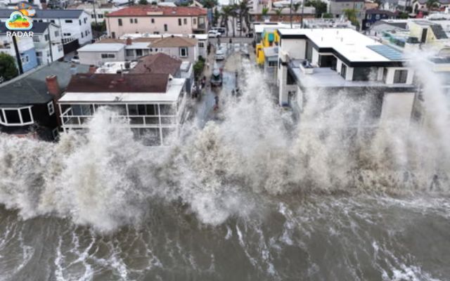
Super El Nino event fuels the movement of the Kelvin wave in ocean
Severe Threats to Coastal Infrastructure and Communities
A Kelvin wave alone raises water levels, but the greatest danger happens when it collides with seasonal weather threats.
|
Hazard Event |
Expected Timeline |
Environmental & Physical Impacts |
|
King Tides |
November – December |
Peak annual tides pile onto an already elevated sea surface. |
|
Winter Storms |
January – March |
Heavy rainfall combined with violent swells accelerates shore erosion. |
|
Compound Flooding |
Mid-to-Late Winter |
High ocean waters block river outlets, trapping storm runoff inland. |
Sustained high water levels threaten vital transit routes like coastal railway tracks, which have already suffered bluff collapses and service pauses.
Meanwhile, low-lying regions in the San Francisco Bay Area face double flooding hazards, where seawater surges mingle with heavy urban rainwater runoff.
Climatologists compare this season's atmospheric setup to the destructive 1997–1998 winter.
That historic event triggered severe landslides, collapsed sea walls, and prompted emergency disaster declarations across 21 California counties.
Living or travelling through northern coastal zones? Check real-time storm cells and tide advisories on RadarMap San Francisco Bay to prepare for winter weather hazards.
In response to the rising ocean baseline, emergency management teams across California are acting swiftly.
Local agencies in Marin County and the Bay Area are clearing drainage networks, setting up sandbag stations, and mounting temporary flood walls.
Municipal leaders strongly advise residents in low-lying zones to register for local emergency notices and safeguard vulnerable properties before winter weather strikes.
References
-
The Guardian
-
UA News
-
AOL
-
Fox5 San Diego
-
Livescience


0 Comments
Leave a Comment
Your email address will not be published. Required fields are marked *